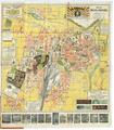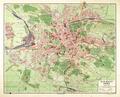
Plan of Lviv
This is a map of the city of Lviv from 1931 published and printed by Ksążnica-Atlas. Major infrastructure in the city and suburbs is identified on the map.…
Read more


This is a map of the city of Lviv from 1931 published and printed by Ksążnica-Atlas. Major infrastructure in the city and suburbs is identified on the map.…
Read more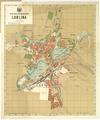
Map of Greater Lublin, published in 1931 to order of the Lublin Branch of the Polish Ethnographic Society.…
Read more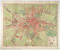
On this map of Lviv from 1928 six districts of Lviv are identified along with the Klepariv, Zamarstyniv, Znesinnja, Kryvchytsi, Kozelnyky, Kulparkiv…
Read more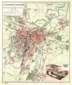
Map of the city of Poznan and bird’s-eye view of the General Regional Exhibition.…
Read more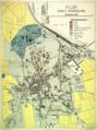
Map of the city of Inowroclaw with main objects in the city marked in color.…
Read more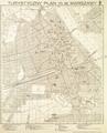
Tourist Map of the Capital City of Warsaw, 1934. The map shows 163 objects, with the most famous ones shown pictorially, in addition to numerical marking.…
Read more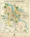
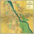
Map of the Capital City of Warsaw, 1934, prepared on the basis of the Regulation Plan of the Capital City of Warsaw 1931-1933. The map shows main buildings…
Read more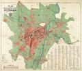
Map of the Capital City of Poznan with Street List as of 1933.…
Read more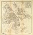
Map of the Capital City of Warsaw, prepared for print at E. Romer’s “Atlas” Graphic Insitute, and published by “Ksiaznica-Atlas” in 1938.…
Read more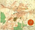
Map of the City of Katowice drawn in 1938. The map includes main transport routes within the city.…
Read more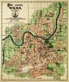
Reprint of Map of Vilnius by Jozef Zawadski’s printing house and bookstore published in 1933.…
Read more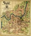
Reprint of a 1921 Map of Vilnius by Jozef Zawadski’s printing house and bookstore, 1930.…
Read more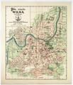
Map of Vilnius printed by Jozef Zawadski’s printing house and bookstore published in 1937.…
Read more