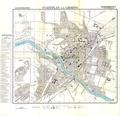
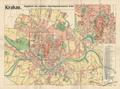
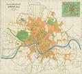
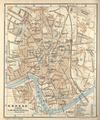
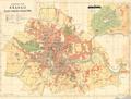
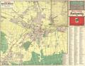
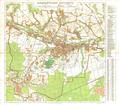
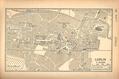
City Map of Stanislau (Stanisławow)
German-language map of the city of Ivano-Frankivsk (Stanislawow), circa 1941, made for German military purposes. The map shows main public buildings, chief…
Read more


German-language map of the city of Ivano-Frankivsk (Stanislawow), circa 1941, made for German military purposes. The map shows main public buildings, chief…
Read more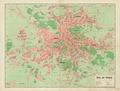
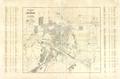
This map of Lviv from 1941 shows newly re-named streets and squares and as well as the four new administrative divisions (Bezirk) of the city.…
Read more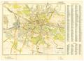
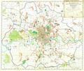
This map of Lviv, created for the German Army, shows the main transportation routes and strategically important buildings in the city.…
Read more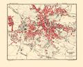
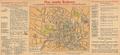
This map of Lviv was published by the War Office of the Polish General Staff in 1943.…
Read more