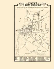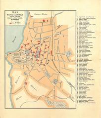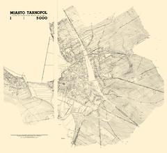
City of Tarnopol. Situational-Contour Map
- ID: 34510
- Place: Ternopil


Map of the territory of Tarnopol, showing the cityscape characteristic of the early 1930s
No date is provided. The author of the graphical execution of the map was Jozef Haliczer (Józef Haliczer).
The map was published with participation of the Podole Tourist and Ethnographic Society (Podolskie towarzystwo turystyczno krajoznawcze).
Legend: