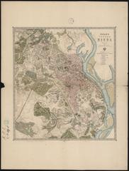
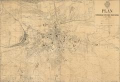
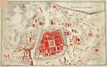
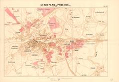
Map of the City of Kraków with its Suburbs: Stradom, Kleparz, Kazimierz, Jewish District (Judenstadt) and Podgórze.
Legend:
The right side of the map holds the title: “Situational Map of the City of Krakau and its Suburbs” (Situations Plan der Stadt Krakau und ihrer Vorstädten).
Below this is the map key/list of objects on the map.
The bottom right part holds the scale bar (Maastab von 100 Wienner Klaftern).
The lower left part holds the stamp of the Archive where the map is kept.