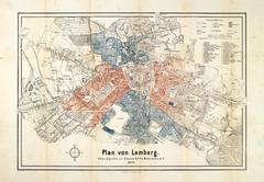
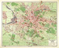
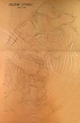
This map contains the plan to resettle Jews, who lived throughout the city, into the ghetto.
The map is dated 8 November 1941.
Legend:
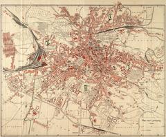
- In the upper left corner is the name “Resettlement of Jews” (Umsiedlung der Juden).
- Beneath the name is the fractional depiction of the map’s scale (1:10 000), the name of the city and the date (Lemberg 8.XI.1941).
- In the right lower section of the map is a list of the symbols used in the map and how to interpret them (Zeichenerklärung).