Menu
Close
site logo
Center for Urban History
Urban Media Archive
News
[unarchiving]
FAQ
About project
Contacts
Укр
The Center
About
Our History and Aims
Team
Building
Cooperation
Internships
News
Media and us
Events
Academic
Research
Conferences, Workshops, Seminars
Urban Seminars
Residences
Digital
Lviv Interactive
Urban Media Archive
Lviv Streets
Public
Exhibitions
Discussion Series
[unarchiving]
Spatial Projects
Digital Storytelling
Publications
Educational
Educational platform
Summer Schools
Courses
Library
Calendar
Store
Premises
Conference Room
Accommodation
Cafe
Contacts
Center for Urban History
6 Bohomoltsia Str.
Lviv 79005, Ukraine
Tel.: +38-032-275-17-34
E-mail:
[email protected]
search
Street Map of the City of Boryslaw
Map
ID:
34499
Place
Boryslav
Date:
1932
Collection
Ryszard Hubisz
Copyright
Ryszard Hubisz
Description
Map of Boryslaw with list of streets, creeks, sacred buildings, and other objects.
Legend:
The title is given in the left corner: “Street Map of the City of Boryslaw” (
Plan ulic miasta Borysławіa
).
Below is the compass rose.
The lower right corner holds information on the map’s author and the year: “Drawn by W. Banau. 1932” (
Rys. W. Banau. 1932
).
Linked objects
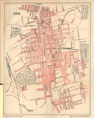
Lodz
ID:
34629
Place:
Lodz
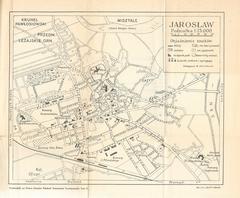
Jaroslaw
ID:
34618
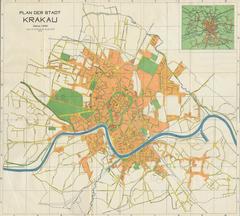
The Newest Map of the City of Krakow
ID:
34614
Place:
Kraków
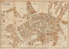
Map of the City of Krakow
ID:
34608
Place:
Kraków