Menu
Close
site logo
Center for Urban History
Urban Media Archive
News
[unarchiving]
FAQ
About project
Contacts
Укр
The Center
About
Our History and Aims
Team
Building
Cooperation
Internships
News
Media and us
Events
Academic
Research
Conferences, Workshops, Seminars
Urban Seminars
Residences
Digital
Lviv Interactive
Urban Media Archive
Lviv Streets
Public
Exhibitions
Discussion Series
[unarchiving]
Spatial Projects
Digital Storytelling
Publications
Educational
Educational platform
Summer Schools
Courses
Library
Calendar
Store
Premises
Conference Room
Accommodation
Cafe
Contacts
Center for Urban History
6 Bohomoltsia Str.
Lviv 79005, Ukraine
Tel.: +38-032-275-17-34
E-mail:
[email protected]
search
Map of the Village of Janow
Map
ID:
34511
Place
Ivano-Frankove
Date:
1850
Collection
Science Library of the Ivan Franko National University of Lviv
Source
42 І
Description
Hand-drawn map of Janow (now Ivano-Frankove) and environs, 1850.
Legned:
The bottom right part holds the title: “Map of the Village of Janow” (
Plan des Dorfes Janowa
).
Below is the scale bar, without mentioning the numerical scale.
The bottom right corner holds information on the map’s author: “Drawn by Johann Solowy” (
Sołowy Johann zeichnet I Fahr.
)
Linked objects
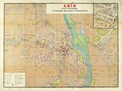
Kyiv. Scheme
ID:
34585
Place:
Kyiv
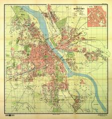
Map of the Capital City of Warsaw
ID:
34583
Place:
Warsaw
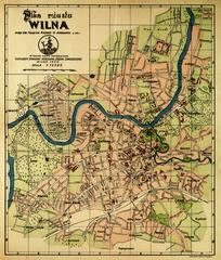
Map of the City of Vilnius
ID:
34574
Place:
Vilnius
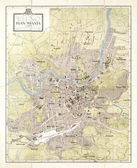
Vilnius. City Map
ID:
34557
Place:
Vilnius