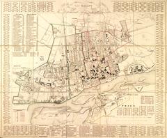
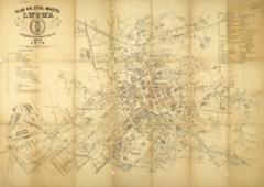
Map of the City of Lodz, 1920s, printed at A. Ostrowski’s Printing House, with public transportation routes, and railway lines.
Legend:
- The top part of the map bears the name: “Map of the City of Lodz” (Plan m. Łodzi).
- The right part of the map holds a list of streets, churches and chapels, cinemas, and theaters.
- The lower part of the map contains information on the publisher: “A. J. Ostrowski Publishing House. Lodz-Warsaw” (Wydawnictwo A.J. Ostrowski. Łódź-Warszawa).