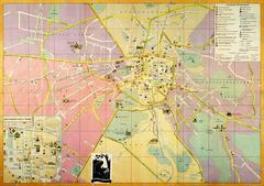
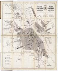
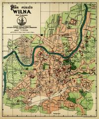
Map of the City of Katowice drawn in 1938. The map includes main transport routes within the city.
Legend:
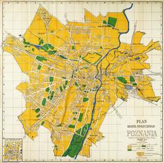
- The lower right part holds the name: “Map of Greater Katowice” (Plan Wielkich Katowic).
- Below the name is the scale of the map: “Scale 1:15 500” (Skala 1:15 500).
- Below this is the measuring line and symbols.
- The bottom right corner bears information on the copyright owner: “Antoni Zborowski”.