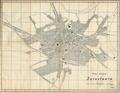
Map of the City of Jaroslaw
Read more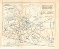
Jaroslaw
Read more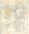
Lublin
Read more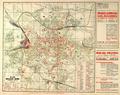
Plan of Great Lwow
This map of Lviv was printed in 1937 as an appendix to the “Illustrated Guidebook of Lviv. Third edition” (Ilustrowany przewodnik po Lwowu z planem. Wydanie…
Read more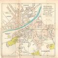
Przemyśl
Read more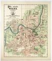
Map of the City of Vilnius
Map of Vilnius printed by Jozef Zawadski’s printing house and bookstore published in 1937.…
Read more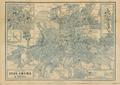
The Popular Plan of Lwow
Popular Map of Lviv shows the city with inserts of the city center and Eastern Trade Fair (Targi Wschodnie, Східні торги).…
Read more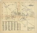
Map of the City of Rowne
Map of the city of Rowne with an alphabetical list of streets and important objects as of 1938.…
Read more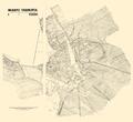
City of Tarnopol. Situational-Contour Map
Detailed Map of Tarnopol, prepared by K. Weigl, circa 1938.…
Read more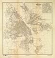
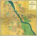
Map of the Capital City of Warsaw
Map of the Capital City of Warsaw, prepared for print at E. Romer’s “Atlas” Graphic Insitute, and published by “Ksiaznica-Atlas” in 1938.…
Read more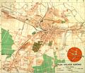
Map of Greater Katowice
Map of the City of Katowice drawn in 1938. The map includes main transport routes within the city.…
Read more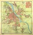
Map of the Capital City of Warsaw
Read more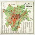
Map of the Capital City of Poznan
Read more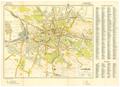
Lemberg
This map of Lviv, created for the German Army, shows the main transportation routes and strategically important buildings in the city.…
Read more