Krakow
Read more
Lviv - Lwow - Leopol
This is a map of Lviv from 1915 was printed by the bookstore Hubrynovych and Son in Lviv.…
Read more
Map of the City of Warsaw with Building Numbers
Map of Warsaw published by A. Holzmann’s printing press, Lodz.…
Read more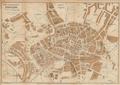
The Newest Map of the City of Krakow
Read more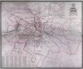
Map of the Royal and Capital City of Lwow
A map of the city of Lviv from 1917 with districts and neighbourhoods demarcated.…
Read more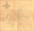
Topographic Map of the Royal and Capital City of Lwow
Read more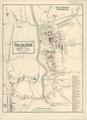
Plan of Sokal
Map of the city and its environs drawn for military uses, detailing all buildings, streets and roads, cemeteries, etc., with an emphasis on showing objects of…
Read more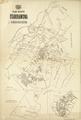
Map of the city of Stanislawow and Knihinin
The map shows the city of Stanislawow, and the territory of the former village of Knihinin, which was subsequently incorporated into the city.…
Read more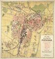
Map of the City of Poznan
Map of the City of Poznan, published by “Atlas” publishing house in 1920. The map shows the city transport routes and main buildings.…
Read more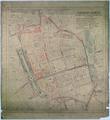
Plan of Adjustments of Inner City
This map shows a plan, created by the Measurement-Regulation Section of the City’s Technical Department, to regulate [building in] the city center; it was…
Read more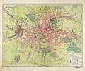
Plan of Lwów
On this map the six districts of Lviv are demarcated along with the outlying areas of Kleparіv, Zamarstynіv, Znesinnja, parts of Kryvchytsi, Kozelnyky…
Read more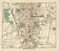
Lodz
Read more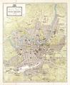
Vilnius. City Map
Map of the city of Vilnius with supplement, edition by the Vilnius Department of the Polish Ethnographic Society, printed by the Polish Artistic Printing House…
Read more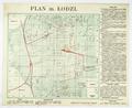
Map of the City of Lodz
Map of the City of Lodz, 1920s, printed at A. Ostrowski’s Printing House, with public transportation routes, and railway lines.…
Read more