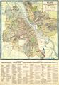
Map of Greater Warsaw
Map of the city of Warsaw, circa 1923, published by HAWU and printed at W. Cukrzynski’s graphical establishment, Warsaw…
Read more
Map of the city of Warsaw, circa 1923, published by HAWU and printed at W. Cukrzynski’s graphical establishment, Warsaw…
Read more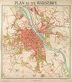
Map of the Capital City of Warsaw prepared by the Military Geography Institute in 1924 based on earlier maps from 1917 and 1919.…
Read more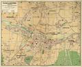
Map of the City of Katowice, 1924, published by Ludwik Fischer’s Bookstore.…
Read more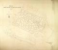
This map is of the Lychakivskyi Cemetery created by the Technical Department in 1924. The sectors are numbered (1-76) and the area around the cemetery is…
Read more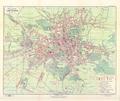
On this map of Lviv from 1925, Lviv’s six districts are demarcated along with the suburbs of Kleparov, Zamarstynov, Znesinnya, parts of Kryvchytsi, Kozelnyky…
Read more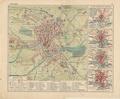
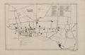
The map shows public buildings, the network of streets, squares and city cemeteries of Sokal in the interwar period.…
Read more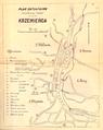
Schematic map of the streets of Krzemieniec with a list of 19 notable objects.…
Read more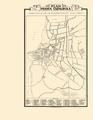
Map of Tarnopol, prepared in November 1925 by architect Maks Schafkopf’s technical bureau.…
Read more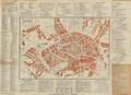
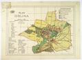
Map of the city of Lublin with Suburban territories and villages.…
Read more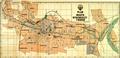
Map of the City of Bydgoszcz, 1927, with a detailed map of the city center.…
Read more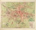
On this map of Lviv from 1927 Lviv’s six districts are identified along with the Klepariv, Zamarstyniv, Znesinnja, parts of Kryvchytsi, Kulparkiv, Persenkivka…
Read more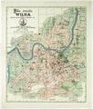
Reprint of a 1921 Map of Vilnius by Jozef Zawadski’s printing house and bookstore, 1928.…
Read more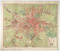
On this map of Lviv from 1928 six districts of Lviv are identified along with the Klepariv, Zamarstyniv, Znesinnja, Kryvchytsi, Kozelnyky, Kulparkiv…
Read more