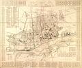
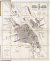
Map of the City of Warszaw
Read more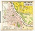
Map of the City of Warsaw with Building Numbers
Map of Warsaw published by A. Holzmann’s printing press, Lodz.…
Read more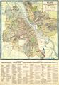
Map of Greater Warsaw
Map of the city of Warsaw, circa 1923, published by HAWU and printed at W. Cukrzynski’s graphical establishment, Warsaw…
Read more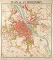
Plan of the Capital City of Warsaw
Map of the Capital City of Warsaw prepared by the Military Geography Institute in 1924 based on earlier maps from 1917 and 1919.…
Read more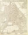
Tourist Map of the Capital City of Warsaw
Tourist Map of the Capital City of Warsaw, 1934. The map shows 163 objects, with the most famous ones shown pictorially, in addition to numerical marking.…
Read more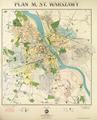
Map of the Capital City of Warsaw
Map of the Capital City of Warsaw, 1934, prepared on the basis of the Regulation Plan of the Capital City of Warsaw 1931-1933. The map shows main buildings…
Read more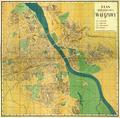
Map of the Capital City of Warsaw
Read more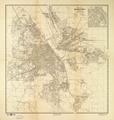
Map of the Capital City of Warsaw
Map of the Capital City of Warsaw, prepared for print at E. Romer’s “Atlas” Graphic Insitute, and published by “Ksiaznica-Atlas” in 1938.…
Read more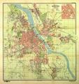
Map of the Capital City of Warsaw
Read more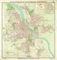
Plan of the Capital City of Warsaw
Map of the Capital City of Warsaw, 1939, with a detailed schematic map of the central part of the city. The map contains horizontal lines marking absolute…
Read more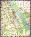
Warsaw. City center
Thirteenth edition of the Map of Downtown Warsaw, executed by the Romer State Enterprise for Cartographic Publications in 1988.…
Read more