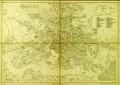
Plan of Lemberg
The present plan shows part of the city territory with suburbs. The southern part of the city is least represented, because the plan's author decided to…
Read more
The present plan shows part of the city territory with suburbs. The southern part of the city is least represented, because the plan's author decided to…
Read more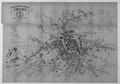
This map was printed to familiarize people with the recently renamed streets and squares of Lviv.…
Read more
The plan shows the limits of the city territory, with suburbs, surounding villages, and nearby territories beyond city limits. A separate capsule on the plan's…
Read more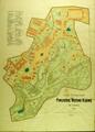
The map shows the territory of the Stryiskyi Park in Lviv as of 1894. The map shows pavilions of the General Regional Exhibition on the territory of the park's…
Read more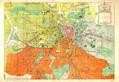
This map of Lviv was an appendix to the publication “City of Lviv during Self-rule 1870-1895” (Miasto Lwów w okresie samorządu) published in 1896.…
Read more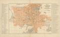
This map was published in 1902 as an appendix to Guidebook to Lviv compiled by F. Baranskyy. Lithographic printing was done by Piller Lithography, Lviv” (Lit.…
Read more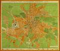
The plan of "Greater Lwów" shows the territory of the city, along with the suburban territories of Kleparów, Zamarstynów, Małe Hołosko, Zniesienie, Krzywczyce…
Read more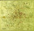
This map was included in the 1939 guide-book The Ukrainian Guide to Lviv, with City Map (Український провідник по Львові з пляном міста Львова). The author of…
Read more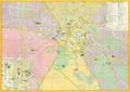
This Map of Lviv was printed for tourists during soviet times.…
Read more