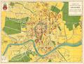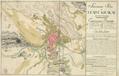
Situational Map of the City of Krakau and its Suburbs
Map of the City of Kraków with its Suburbs: Stradom, Kleparz, Kazimierz, Jewish District (Judenstadt) and Podgórze.…
Read more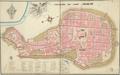
Ground Plan of the city of Krakau
Hand-drawn map of the city shows main buildings of Cracow within city defensive walls.…
Read more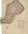
Krakau
Map of Kraków, showing the city with its fortification walls. One peculiarity of the map is that it demonstrates conscription numbers on buildings, and focuses…
Read more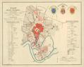
Map of the City of Cracow within the Trenches
Map of the city of Cracow with Suburbs, 1836.…
Read more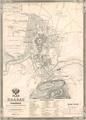
Map of Krakau with Podgorze and the nearest environs
Map of Kraków, showing the territory of the city with suburbs Kazimierz, Stradom, Smolensk, Piasek, Kleparz, Wesola, as well as the town of Podgorze.…
Read more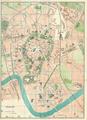
Krakow
Read more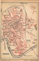
Krakow
Read more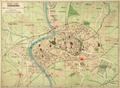
New map of Krakow
New map of Krakow, 1914, drawn using the “Pharusa” method.…
Read more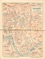
Krakow
Read more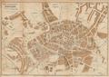
The Newest Map of the City of Krakow
Read more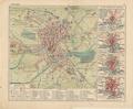
Krakow
Read more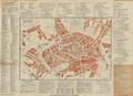
The Newest Map of the City of Krakow
Read more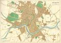
Krakow
Read more