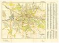
Lemberg
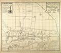
This map of Lviv, created for the German Army, shows the main transportation routes and strategically important buildings in the city.…
Read more
This map of Lviv, created for the German Army, shows the main transportation routes and strategically important buildings in the city.…
Read more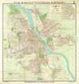
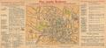
Map of the Capital City of Warsaw, 1939, with a detailed schematic map of the central part of the city. The map contains horizontal lines marking absolute…
Read more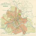
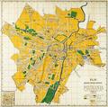
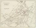
Schematic map of Stryi, circa 1940, showing the city street, road, and railway track network…
Read more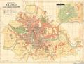
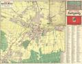
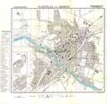
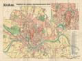
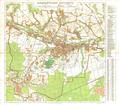

German-language map of the city of Ivano-Frankivsk (Stanislawow), circa 1941, made for German military purposes. The map shows main public buildings, chief…
Read more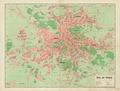
This map of Lviv from 1941 shows newly re-named streets and squares and as well as the four new administrative divisions (Bezirk) of the city.…
Read more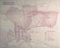
This map contains the plan to resettle Jews, who lived throughout the city, into the ghetto.…
Read more