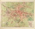
Plan of Lwów. Fourth Edition
On this map of Lviv from 1927 Lviv’s six districts are identified along with the Klepariv, Zamarstyniv, Znesinnja, parts of Kryvchytsi, Kulparkiv, Persenkivka…
Read more
On this map of Lviv from 1927 Lviv’s six districts are identified along with the Klepariv, Zamarstyniv, Znesinnja, parts of Kryvchytsi, Kulparkiv, Persenkivka…
Read more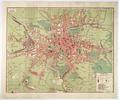
On this map of Lviv from 1928 six districts of Lviv are identified along with the Klepariv, Zamarstyniv, Znesinnja, Kryvchytsi, Kozelnyky, Kulparkiv…
Read more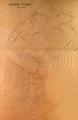
This is a map of the area around the Citadel in Lviv. The map shows an unrealized plan of creating new streets and structures in the area of what is now Park…
Read more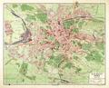
This is a map of the city of Lviv from 1931 published and printed by Ksążnica-Atlas. Major infrastructure in the city and suburbs is identified on the map.…
Read more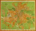
The plan of "Greater Lwów" shows the territory of the city, along with the suburban territories of Kleparów, Zamarstynów, Małe Hołosko, Zniesienie, Krzywczyce…
Read more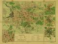
This map shows Lviv with an insert enlarging the city center. Along the right side are three additional inserts that show how the city looked at the end of the…
Read more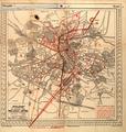
This map of Lviv was published in 1936 as an appendix to the “Illustrated Guidebook to Lviv” (Ilustrowany przewodnik po Lwowie z planem orjentacyjnym ze…
Read more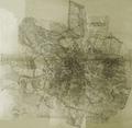
This map of Lviv is from 1936 and was created from photographs of the city taken from an airplane.…
Read more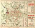
This map of Lviv was printed in 1937 as an appendix to the “Illustrated Guidebook of Lviv. Third edition” (Ilustrowany przewodnik po Lwowu z planem. Wydanie…
Read more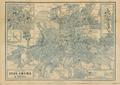
Popular Map of Lviv shows the city with inserts of the city center and Eastern Trade Fair (Targi Wschodnie, Східні торги).…
Read more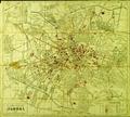
This map was included in the 1939 guide-book The Ukrainian Guide to Lviv, with City Map (Український провідник по Львові з пляном міста Львова). The author of…
Read more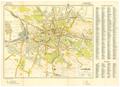
This map of Lviv, created for the German Army, shows the main transportation routes and strategically important buildings in the city.…
Read more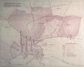
This map contains the plan to resettle Jews, who lived throughout the city, into the ghetto.…
Read more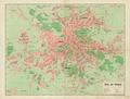
This map of Lviv from 1941 shows newly re-named streets and squares and as well as the four new administrative divisions (Bezirk) of the city.…
Read more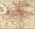
Map of Lviv, approximate year of publication: 1942. This map has the city’s districts written in by hand.…
Read more