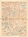
Plan of the City of Stanisławow
The plan shows the limits of the city of Stanisławow (renamed to Ivano-Frankivsk in 1962) with its suburbs, surrounding villages, as well as adjacent…
Read more
The plan shows the limits of the city of Stanisławow (renamed to Ivano-Frankivsk in 1962) with its suburbs, surrounding villages, as well as adjacent…
Read more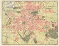
A Ukrainian language map of Lviv from the beginning of the 20th century.…
Read more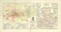
Map of the City of Jaroslaw drawn and published by engineer S. Kornman in 1906.The map was printed at G. Freytag & Berndt, cartographers, in Vienna.…
Read more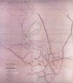
The map outlines the early twentieth-century project of a new layout for the Truskawiec territory, detailing the street network, construction of new buildings…
Read more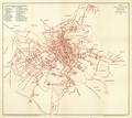
Schematic map of the Royal Capital City of Lviv from 1907 with the most important structures identified.…
Read more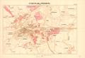
Map of Przemysl, 1907, with names of suburbs and surrounding villages.…
Read more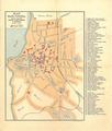
Map of the city of Tarnopol, published in 1908 with the printing funded by Alfred Brugger’s bookstore.…
Read more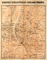
Most Current Map of the City of Budapest, 1908, showing main streets, buildings, and city districts.…
Read more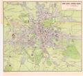
This map shows electric trolley and railroad tracks in Lviv; it was ordered by the Association for Popularizing Foreign Travel in Galicia (Krakow). The map was…
Read more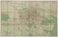
Map of Greater Lviv 1910 with trolley routes and rail road stations.…
Read more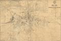
This map is the second edition of a map of the Royal Capital City of Lviv from 1910. Wladyslaw Gabriel (Władyslał Gabriel) prepared this map for print on the…
Read more
Map of Czernowitz showing city territory with street network and detailing all buildings.…
Read more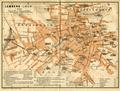
This map of Lviv shows the network of streets and squares and important buildings.…
Read more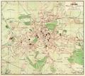
This map of Lviv from 1911 was published by the Polish bookstore owned by B. Poloneczki in Lviv.…
Read more