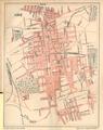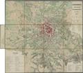
Lemberg with Suburbs in 1844
Read more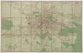
Great Plan of Lwow with Suburbs and Neighbouring Areas
Map of Greater Lviv 1910 with trolley routes and rail road stations.…
Read more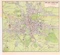
Lwow-Leopol-Lemberg-Lviv
This map shows electric trolley and railroad tracks in Lviv; it was ordered by the Association for Popularizing Foreign Travel in Galicia (Krakow). The map was…
Read more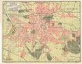
Plan of Lviv
A Ukrainian language map of Lviv from the beginning of the 20th century.…
Read more
Plan of the City of Stanisławow
The plan shows the limits of the city of Stanisławow (renamed to Ivano-Frankivsk in 1962) with its suburbs, surrounding villages, as well as adjacent…
Read more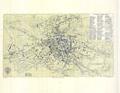
The Newest Detailed Plan of the Royal Capital City of Lwow
This detailed map of the City of Lviv was financed by the Herman Altenberg bookstore in 1892. Its original name was “The Newest Detailed Map of the Royal…
Read more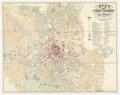
Map of the City of Lemberg and Surrounding areas
This map shows the city and surrounding areas with details of city construction, hydrography and the street and road network at the time the new Ratusha was…
Read more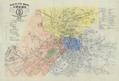
Plan of the Royal and Capital City of Lwow with Data on New Names of Streets and Squares
This map of the Royal Capital City Lviv published in 1871 was intended to help inform the public of changes in street and square names.…
Read more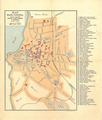
Plan of the City of Tarnopol
Map of the city of Tarnopol, published in 1908 with the printing funded by Alfred Brugger’s bookstore.…
Read more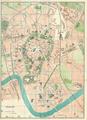
Krakow
Read more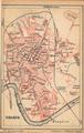
Krakow
Read more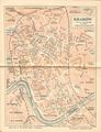
Krakow
Read more