City of Lviv
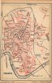
A re-print of a map of Lviv included in a 1886 guidebook (Przewodnik z Krakowa do Lwowa, Podhorzec... Lwów. 1886).…
Read more
A re-print of a map of Lviv included in a 1886 guidebook (Przewodnik z Krakowa do Lwowa, Podhorzec... Lwów. 1886).…
Read more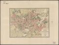
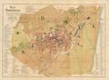
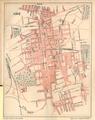
This map of Chernivtsi shows the territory of the city in the late nineteenth century.…
Read more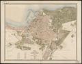
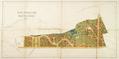
Development project for Kastelivka which was located between Kzhyzhova and Vuletska Streets. According to the project 64 villas were to be built in this area…
Read more
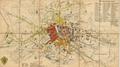
The plan shows the limits of the city territory, with suburbs, surounding villages, and nearby territories beyond city limits. A separate capsule on the plan's…
Read more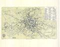
This detailed map of the City of Lviv was financed by the Herman Altenberg bookstore in 1892. Its original name was “The Newest Detailed Map of the Royal…
Read more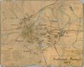
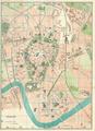
Map of the city of Przemysl with suburbs and nearest environs. The map provides a schematic depiction of the city’s buildings with an emphasis on sacred…
Read more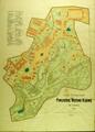
The map shows the territory of the Stryiskyi Park in Lviv as of 1894. The map shows pavilions of the General Regional Exhibition on the territory of the park's…
Read more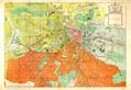
This map of Lviv was an appendix to the publication “City of Lviv during Self-rule 1870-1895” (Miasto Lwów w okresie samorządu) published in 1896.…
Read more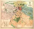
This map depicts the city of Lviv at the beginning of the 20th century.…
Read more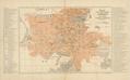
This map was published in 1902 as an appendix to Guidebook to Lviv compiled by F. Baranskyy. Lithographic printing was done by Piller Lithography, Lviv” (Lit.…
Read more