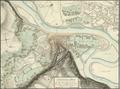
Situation Plan (of Halicz)
Hand-drawn map of Halych and environs as of 1795.…
Read more


Hand-drawn map of Halych and environs as of 1795.…
Read more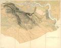
Map of the City of Czernowitz with surrounding villages, drawn in October, 1823.…
Read more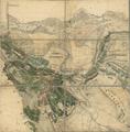
This map of Czernowitz with environs shows its street and road network, as well as the city's buildings, which at the time of the map's publication, was…
Read more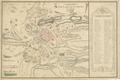
The map is a schematic depiction of the city and its environs, drawn by Cadet Jean Doetsch in 1770, on the basis of his observations of the city.…
Read more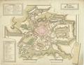
This hand-drawn map of Lviv provides a schematic demonstration of the city and its environs.…
Read more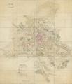
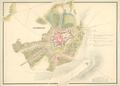
The plan reflects the state of the city and adjacent territories as of the late eighteenth century.…
Read more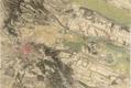
This map of Lviv is a part of the Map of the Kingdom of Galicia and Lodomeria (Karte des Koenigreiches Galizien und Lodomerien) was created in 1779-1782 for…
Read more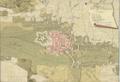
Hand-drawn Map of the city of Brody with environs, with a detailed depiction of city canals, main roads, buildings, and castle.…
Read more
A portion of a map of the city from 1836; it was used to plan the railroad that would connect Lviv and Krakow in 1861.…
Read more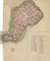
Map of Kraków, showing the city with its fortification walls. One peculiarity of the map is that it demonstrates conscription numbers on buildings, and focuses…
Read more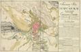
Map of the City of Kraków with its Suburbs: Stradom, Kleparz, Kazimierz, Jewish District (Judenstadt) and Podgórze.…
Read more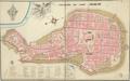
Hand-drawn map of the city shows main buildings of Cracow within city defensive walls.…
Read more
This is a hand drawn map of Lviv’s city center from 1777. It is one of the first maps of the city from when the city was under Austrian rule.…
Read more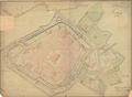
This is a map of Lviv dated 23 March 1780 signed by the engineer Anton v. Pinterhoffen.…
Read more