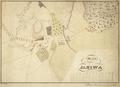
Map of the Village of Janow
Hand-drawn map of Janow (now Ivano-Frankove) and environs, 1850.…
Read more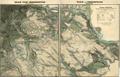
Plan of Czernowitz
Map of the City of Czernowitz with environs, drawn for military purposes in the Autumn of 1854.…
Read more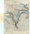
General Plan (Zaleszczyk)
Map of Zaliszczyky (Zaleszczyk) and environs, circa 1855, prepared by the 4th Army HQ. The map shows a project for fortifying territories around the city.…
Read more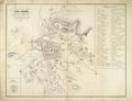
Plan of Lwów from 18 century till 1775
This plan shows the city’s reconstruction in the 18th century; it was created by Maurycy Hr. Dzieduszycki.…
Read more
Drawing of the Decorations of the City of Lviv
The map shows the territory of the Krakow suburb, as well as some parts of inner city, and Halicz and Zolkiew quarters of Lviv.…
Read more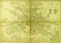
Plan of Lemberg
The present plan shows part of the city territory with suburbs. The southern part of the city is least represented, because the plan's author decided to…
Read more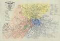
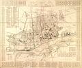
Plan of the Royal and Capital City of Lwow with Data on New Names of Streets and Squares
This map of the Royal Capital City Lviv published in 1871 was intended to help inform the public of changes in street and square names.…
Read more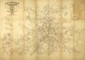
Plan of the Royal and Capital City of Lwow with Data on New Names of Streets and Squares
Read more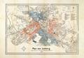
Plan of Lemberg with the new street names
This map of the city of Lviv, published in 1873 by the F. H. Richter bookstore, contains renamed streets.…
Read more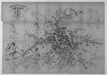
Plan of the Royal and Capital City of Lwow with data on new names of streets and squares
This map was printed to familiarize people with the recently renamed streets and squares of Lviv.…
Read more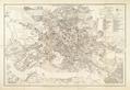
Plan of Lemberg
Map of Lviv from 1878 published by the Viennese company Artaria and Co. The map contains the elevation of the highest spots in the city. In the southern part…
Read more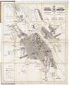
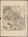
Map of the City of Warszaw
Read more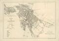
Map of Czernowitz. Supplemented in 1880
Map of Chernivtsi, 1880, with suburbs and part of the border area of Moldova.…
Read more