Plan of Czernowitz
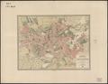
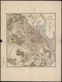
Map of the City of Czernowitz with environs, drawn for military purposes in the Autumn of 1854.…
Read more


Map of the City of Czernowitz with environs, drawn for military purposes in the Autumn of 1854.…
Read more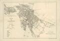
Map of Chernivtsi, 1880, with suburbs and part of the border area of Moldova.…
Read more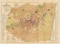
This map of Chernivtsi shows the territory of the city in the late nineteenth century.…
Read more
Map of Czernowitz showing city territory with street network and detailing all buildings.…
Read more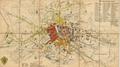
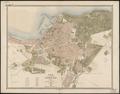
A re-print of a map of Lviv included in a 1886 guidebook (Przewodnik z Krakowa do Lwowa, Podhorzec... Lwów. 1886).…
Read more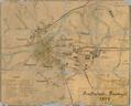
Map of the city of Przemysl with suburbs and nearest environs. The map provides a schematic depiction of the city’s buildings with an emphasis on sacred…
Read more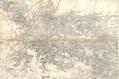
A portion of a map of the city from 1836; it was used to plan the railroad that would connect Lviv and Krakow in 1861.…
Read more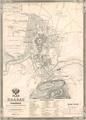
Map of Kraków, showing the territory of the city with suburbs Kazimierz, Stradom, Smolensk, Piasek, Kleparz, Wesola, as well as the town of Podgorze.…
Read more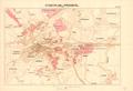
Map of Przemysl, 1907, with names of suburbs and surrounding villages.…
Read more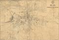
This map is the second edition of a map of the Royal Capital City of Lviv from 1910. Wladyslaw Gabriel (Władyslał Gabriel) prepared this map for print on the…
Read more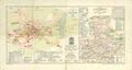
Map of the City of Jaroslaw drawn and published by engineer S. Kornman in 1906.The map was printed at G. Freytag & Berndt, cartographers, in Vienna.…
Read more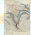
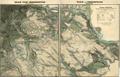
Map of Zaliszczyky (Zaleszczyk) and environs, circa 1855, prepared by the 4th Army HQ. The map shows a project for fortifying territories around the city.…
Read more